
The pier is why you came. Walk a hundred yards before you get in.
You typed Santa Monica Beach into the map and it dropped you at the pier. Of course it did. The Ferris wheel, the boards, the Pacific under the pilings: that is the picture everyone sent you. Stand there. Take the photo. 200 Santa Monica Pier Directions is its own destination, rides and food and fishing, and it is okay that this is where you wanted to be.
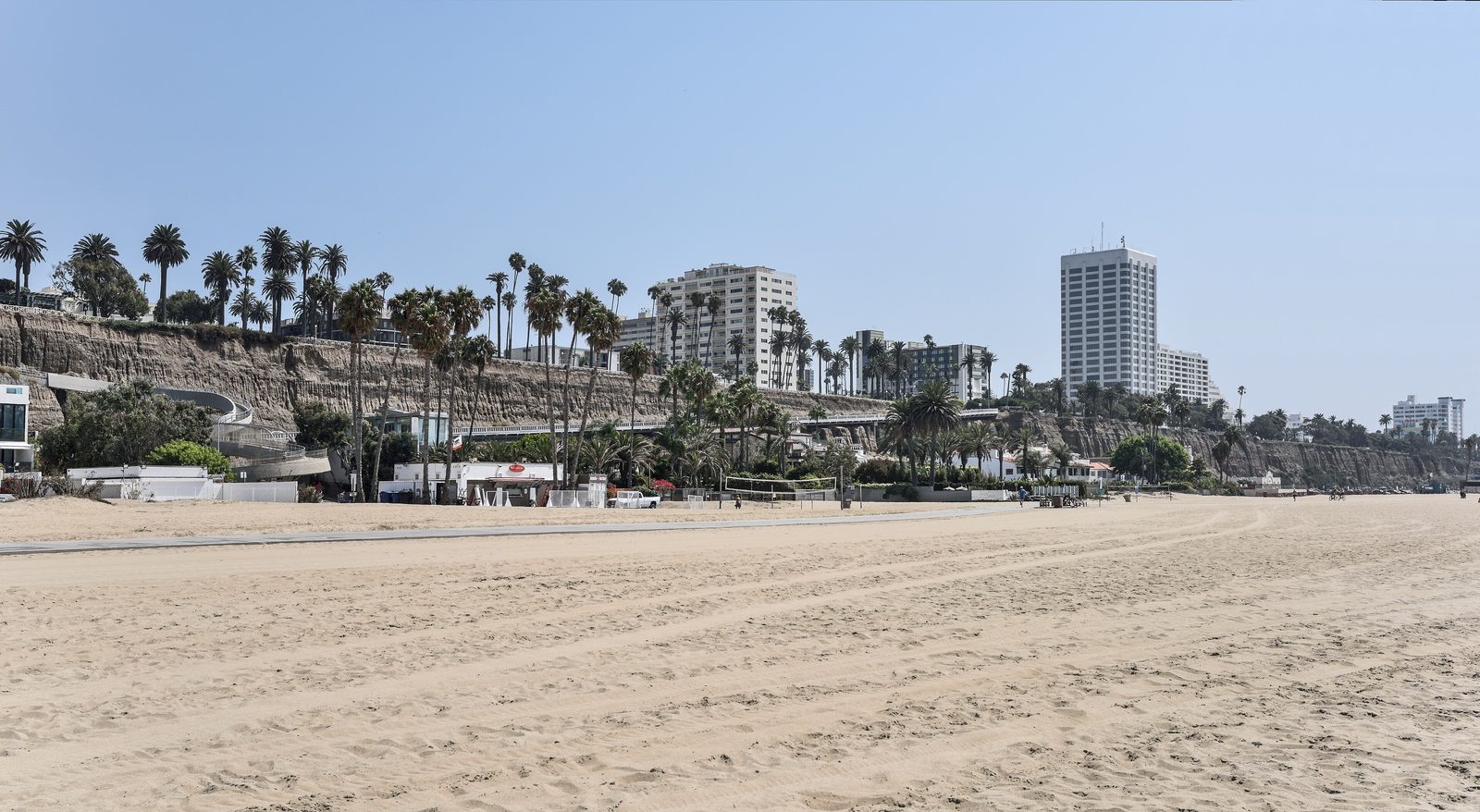
The sit-and-swim sand is a different stretch. Santa Monica State Beach runs more than three miles and 245 acres, north of the pier and south of it, posted at 1550 Pacific Coast Highway Directions. The City of Santa Monica and California State Parks share the place. Hours on the city page are sunrise to sunset, with a clock that reads 6:00 a.m. to 7:30 p.m. You can spend a whole day on that sand and never stand under the deck. That is the beach you meant, even when the pin did not.
What happens next, because the pin is here, is you walk down and get in at the pilings. Heal the Bay's 2025-26 Beach Report Card put Santa Monica Pier at number two on the Beach Bummer list, the second year in a row, and on that list fifteen of the last twenty-one years, including the last five. Their sentence is the one to keep: "water is consistently unsafe for swimming directly at the Pier." Storm drains feed that sample. The city built stormwater capture and bird-deterrent netting. Bacteria rose again. The netting, the report says, has come into disrepair. A city and Heal the Bay task force is on it. Treat that score as weekly and annual water quality, not as the flag on the sand this morning. This week's letter lives at beachreportcard.org.
County public health posts a different tape. On August 13, 2026, LA County DPH still warned 100 yards up and down from Santa Monica Pier, and 100 yards from the Wilshire Boulevard storm drain at North Tower 12. That same day they cleared the East Montana Avenue drain at North Tower 8 and the East Wilshire Boulevard drain. The samples run weekly. The signs stay until the next passing test. They are not a live flag, and they are not a closure of the whole state beach. A water advisory is not a sand closure. The hotline is 1-800-525-5662. The map is at publichealth.lacounty.gov/beach.
The standing advice is older than any one Wednesday. Stay 100 yards from storm drains, creeks, and piers. Stay out of the water for 72 hours, three days, after significant rain. Yellow signs mean bacteria over the state standard. White signs sit at drains and creeks. Red means the beach is closed, and that is for sewage or a chemical discharge, not for a pier warning. County lifeguards ask you to surf or swim near an open tower. Their Santa Monica desk is at 1642 Ocean Front Walk, 310-394-3261. Towers 2 through 16 run north of the pier. Towers 17 through 29 run south. Not every tower is staffed every hour.
If you came for the swim, give the pier its photograph and keep walking. North along the state beach, or south of the deck, until you are past the tape and next to a tower that is open. The sand is still the same 245 acres. The postcard stays on the deck.
Further reading
- City of Santa Monica — Santa Monica State Beach
- City of Santa Monica — Santa Monica Pier
- Heal the Bay — 2025-26 Beach Report Card
- Heal the Bay 2025-26 report (PDF)
- Heal the Bay Beach Report Card
- LA County DPH — Aug 13 DPH release
- LA County DPH beach map and hotline
- LA County DPH — beach signs and rain advisory
- LA County Beaches — swim near an open tower